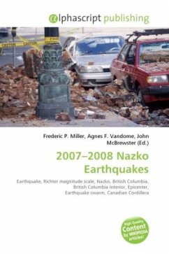
High Quality Content by WIKIPEDIA articles! The 2007 2008 Nazko earthquakes were a series of small earthquakes measuring less than 4.0 on the Richter magnitude scale. They took place in the sparsely populated Nazko area of the central British Columbia Interior starting on Tuesday, October 9, 2007. Their epicenters were near the upper Baezaeko River, 30 km (19 mi) west of Nazko Cone, a small tree-covered cinder cone that last erupted about 7,200 years ago. The swarm of earthquakes is unique in that it constitutes the only recorded seismicity in the Canadian Cordillera away from the British Columbia Coast. No damages or casualties resulted from the Nazko earthquakes, which were too small to be felt by people, but local seismographs recorded them. The earthquake swarm occurred at the eastern end of a known volcanic zone called the Anahim Volcanic Belt. This is an east-west trending 600 km (370 mi) long line of volcanoes that extends from just north of Vancouver Island to near the small city of Quesnel.
Bitte wählen Sie Ihr Anliegen aus.
Rechnungen
Retourenschein anfordern
Bestellstatus
Storno

