2009 Samoa Earthquake
Versandkostenfrei!
Versandfertig in 6-10 Tagen
42,99 €
inkl. MwSt.

PAYBACK Punkte
21 °P sammeln!
The 2009 Samoa earthquake was an 8.1 Mw submarine earthquake that took place in the Samoan Islands region at 06:48:11 local time on September 29, 2009 (17:48:11 UTC, September 29). It was the largest earthquake of 2009. A tsunami was generated which caused substantial damage and loss of life in Samoa, American Samoa, and Tonga. The Pacific Tsunami Warning Center recorded a 3-inch (76 mm) rise in sea levels near the epicenter, and New Zealand scientists determined that the waves measured 14 metres (46 ft) at their highest on the Samoan coast. The quake occurred on the outer rise of the Kermadec...
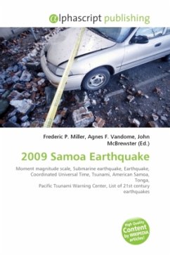
The 2009 Samoa earthquake was an 8.1 Mw submarine earthquake that took place in the Samoan Islands region at 06:48:11 local time on September 29, 2009 (17:48:11 UTC, September 29). It was the largest earthquake of 2009. A tsunami was generated which caused substantial damage and loss of life in Samoa, American Samoa, and Tonga. The Pacific Tsunami Warning Center recorded a 3-inch (76 mm) rise in sea levels near the epicenter, and New Zealand scientists determined that the waves measured 14 metres (46 ft) at their highest on the Samoan coast. The quake occurred on the outer rise of the Kermadec-Tonga Subduction Zone. This is part of the Pacific Ring of Fire, where tectonic plates in the Earth's lithosphere meet and earthquakes and volcanic activity are common. Countries affected by the tsunami in the areas that were hit are American Samoa, Samoa and Tonga (Niuatoputapu) where more than 189 people have been killed, most of them in Samoa.


