Nicht lieferbar
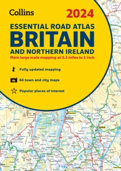
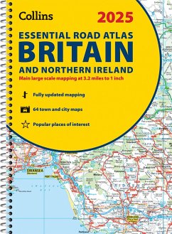
2024 Collins Essential Road Atlas Britain and Northern Ireland
A4 Spiral
Versandkostenfrei!
Nicht lieferbar
This A4 road atlas with lie-flat spiral binding provides clear and detailed road mapping for England, Wales and Southern Scotland at a scale of 3.2 miles to 1 inch (1:200,000). For Northern Scotland the mapping is at a scale of 4.2 miles to 1 inch (1:266,000), with land height shown by different layers of colouring.


