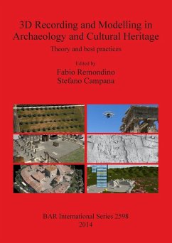
The book derives from the experiences of the authors as lecturers and tutors at different international summer schools on reality-based surveying and 3D modelling in the field of archaeology and cultural heritage. The book is organized in three main sections. The first part aims to introduce and discuss the contribution of geomatic techniques in archaeology and more generally in cultural heritage with particular attentions to the 3D domain. The second part is focused on the main areas involved in the implementation of 3D surveys (aerial and terrestrial LiDAR, photogrammetry, remote sensing), 3D documentations, GIS and 3D interpretations (virtual and cyber archaeology). The last section collects some relevant case studies showing the extraordinary contribution that geomatic techniques can give to archaeological research and cultural heritage at different scales of detail: object, site, landscape.
Hinweis: Dieser Artikel kann nur an eine deutsche Lieferadresse ausgeliefert werden.
Hinweis: Dieser Artikel kann nur an eine deutsche Lieferadresse ausgeliefert werden.


