22,99 €
inkl. MwSt.
Versandfertig in 3-5 Tagen
11 °P sammeln
- Gebundenes Buch
- Merkliste
- Auf die Merkliste
- Bewerten Bewerten
- Teilen
- Produkt teilen
- Produkterinnerung
- Produkterinnerung
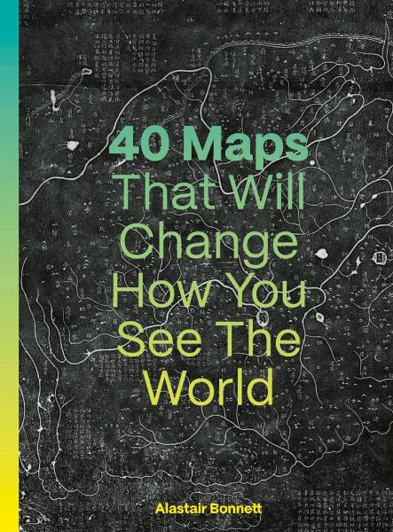
40 Maps That Will Change How You See the World is a collection of historic and contemporary maps and the insights they reveal about geography, geopolitics, art, history, science and society.
Andere Kunden interessierten sich auch für
- Philip ParkerAtlas of Atlases28,99 €
- Tom HarperAtlas: A World of Maps from the British Library28,99 €
- Jacob F. FieldCountries of the World in Minutes16,99 €
- Mark OvendenTransit Maps of the World23,99 €
- DkHistory of North America Map by Map38,99 €
- Eva MinguetWelcome to an Illustrated World Tour23,99 €
- Collins MapsCollins World Atlas: Paperback Edition13,99 €
-
-
-
40 Maps That Will Change How You See the World is a collection of historic and contemporary maps and the insights they reveal about geography, geopolitics, art, history, science and society.
Hinweis: Dieser Artikel kann nur an eine deutsche Lieferadresse ausgeliefert werden.
Produktdetails
- Produktdetails
- Verlag: Quarto Publishing PLC
- Seitenzahl: 192
- Erscheinungstermin: 17. September 2024
- Englisch
- Abmessung: 289mm x 236mm x 25mm
- Gewicht: 740g
- ISBN-13: 9780711293533
- ISBN-10: 0711293538
- Artikelnr.: 69827738
- Herstellerkennzeichnung
- Libri GmbH
- Europaallee 1
- 36244 Bad Hersfeld
- gpsr@libri.de
ALASTAIR BONNETT is Professor of Social Geography at Newcastle University. Previous books include Off the Map, What is Geography? and How to Argue. He has also contributed to history and current affairs magazines on a wide variety of topics, such as world population and radical nostalgia. Alastair was editor of the avant-garde, psychogeographical, magazine Transgressions: A Journal of Urban Exploration between 1994-2000. Alastair lives in Newcastle.
Introduction
Map 1. A 9,000-year-old town map
Map 2. The first modern map
Map 3. The oldest map of the British Isles
Map 4. When China discovered the world?
Map 5. The world on its head. The Ottoman Empire eyes the New World
Map 6. Lord Quetzalecatzin’s map: Aztecs versus colonial power
Map 7. All the world’s people, as seen from Japan
Map 8. A sailor’s map made of sticks and shells
Map 9. The shattered tear drop: a journey to another shore
Map 10. If Africa had not been colonized
Map 11. An empire made visible
Map 12. The German USA
Map 13. Who owns Alaska?
Map 14. A world-leading environmental plan from Africa
Map 15. New maps for a new superpower
Map 16. All heading south! Antarctica is getting busy
Map 17. China’s high-speed revolution
Map 18. A transparent map of a three-dimensional city
Map 19. Big maps for big data
Map 20. Google’s chameleon maps
Map 21. A women-friendly city is something to be
Map 22. Overwhelmed by the noise of cars and trucks
Map 23. Mapping the smells of a seaside vacation
Map 24. A game of love
Map 25. Wandering ghosts: the art of GPS
Map 26. Mapping the human brain, one sliver at a time
Map 27. Dancing geography: how bees draw maps
Map 28. Wood wide web: how trees and fungi help each other out
Map 29. Earth power: how earthquakes reveal a hidden planet
Map 30. Planet potato: a map of gravity
Map 31. Vertical extremes: from Challenger Deep to Tilicho Lake
Map 32. There is only one ocean
Map 33. Sundaland: a hidden ancient homeland, now under the sea
Map 34. Europe in a world without ice
Map 35. Cooking Iberia: a map of extreme heat
Map 36. The hidden great lake
Map 37. Olympus Mons and new maps of Mars
Map 38. A journey across the Sun
Map 39. Lakeside on Titan
Map 40. Our new home: the Laniakea Supercluster
References
Index
Picture Credits
Acknowledgements and About the Author