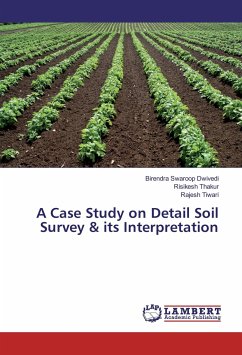
The soil and land use survey helps to define and demarcate the extent and location of soil types. Land evaluation techniques have the best potential for identifying agricultural suitability of land consequently for the transfer of agro technology. The study of soil survey provide systematic classification of soils into well defined series and their phases or other units of classification on the basis of their important characteristics through field and laboratory examination of the entire soil profile and their distribution is presented in the form of a map delineating the different soil boundaries.
Bitte wählen Sie Ihr Anliegen aus.
Rechnungen
Retourenschein anfordern
Bestellstatus
Storno

