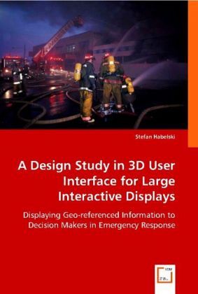
A Design Study in 3D User Interface for Large Interactive Displays
Displaying Geo-referenced Information to Decision Makers in Emergency Response
Versandkostenfrei!
Versandfertig in 6-10 Tagen
32,99 €
inkl. MwSt.

PAYBACK Punkte
16 °P sammeln!
In this work, we present a prototype for a large interactive display (LID) application that provides a 3D representation of a collection of geo-referenced units of information to commanders taking part in a firefighting intervention. The main focus of the work was placed on the development and evaluation of relevant interaction mechanisms based on single and multi-touch enabled interactive displays. This book presents an application designed to display geo-referenced information inside a 3D scene. The application provides a collection of tools to support the user in the exploration and manipul...
In this work, we present a prototype for a large interactive display (LID) application that provides a 3D representation of a collection of geo-referenced units of information to commanders taking part in a firefighting intervention. The main focus of the work was placed on the development and evaluation of relevant interaction mechanisms based on single and multi-touch enabled interactive displays. This book presents an application designed to display geo-referenced information inside a 3D scene. The application provides a collection of tools to support the user in the exploration and manipulation of the information. It further introduces the basic concepts and underpinnings sustaining the application and provides an overview of the whole implementation process, including the results of a usability evaluation conducted to assess the quality of the provided solution.


