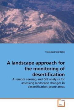
Land degradation and desertification processes represent a serious problem in many Italian regions, as in the north-western part of Sardinia where urbanization, overgrazing and fires have induced environmental degradation and rapid land-use change, thus altering entire landscapes. In semi-arid and arid environments, in particular, where fragile ecosystems are dominant, land cover and landscape change often reflects the most significant impact on the environment due to human activity. This book provides a test of a landscape approach in areas prone to desertification, where this kind of investigation has not been experimented on up until now. By means of remote sensing, Geographical Information System (GIS) and the software FRAGSTATS, three Landsat MSS and TM images, covering the period between 1972 and 2000, were classified and a stepwise indicator approach was adopted in order to detect the location, the direction, the magnitude of the changes and the spatio-temporal dynamic of landscape. The analysis should help warning the local authorities of the circumstances of the past and current landscape changes and their consequences.
Bitte wählen Sie Ihr Anliegen aus.
Rechnungen
Retourenschein anfordern
Bestellstatus
Storno

