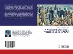
A Practical Digital Image Processing using MATLAB
Versandkostenfrei!
Versandfertig in 6-10 Tagen
27,99 €
inkl. MwSt.

PAYBACK Punkte
14 °P sammeln!
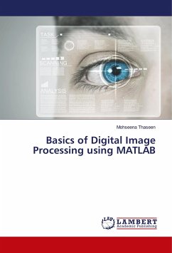
MATLAB (MATrix LABoratory) integrates computation, visualization, and Programming in an easy-to-use environment where problems and solutions are expressed in familiar mathematical notation. MATLAB features a family of application-specific solutions called toolboxes. Toolboxes are comprehensive collections of MATLAB functions (M-files) that extend the MATLAB environment to solve classes of problems. Areas in which toolboxes are available include signal processing, control systems, neural networks, fuzzy logic, wavelets, simulation, image processing and many others. Image processing tool box has...
MATLAB (MATrix LABoratory) integrates computation, visualization, and Programming in an easy-to-use environment where problems and solutions are expressed in familiar mathematical notation. MATLAB features a family of application-specific solutions called toolboxes. Toolboxes are comprehensive collections of MATLAB functions (M-files) that extend the MATLAB environment to solve classes of problems. Areas in which toolboxes are available include signal processing, control systems, neural networks, fuzzy logic, wavelets, simulation, image processing and many others. Image processing tool box has extensive functions for many operations for image restoration. The development of digital techniques for the restoration, enhancement and computer-assisted interpretation of remotely sensed images initially proceeded independently and somewhat ahead of GIS. However, the raster data structure and many of the procedures involved in these Image Processing Systems (IPS) were identical to those involved in raster GIS. As a result, it has become common to see IPS software packages add general capabilities for GIS, and GIS software systems add at least a fundamental suite of IPS tools.


