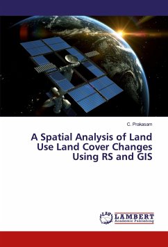
Land use and land cover is an important component in understanding the interactions of the human activities with the environment and thus it is necessary to be able to simulate changes. Empirical observation revealed a change in land use land cover classification in Kodaikanal taluk, a part of Western Ghats located in Tamilnadu state. In this paper an attempt is made to study the changes in land use and land cover in Kodaikanal Taluk over 40 years period (1969 2008). The study has been done through remote sensing approach using SOI Taluk map of Kodaikanal (1969), and Land Sat imageries of May 2003 and April 2008. The land use land cover classification was performed based on the Survey of India Kodaikanal Taluk map and Satellite imageries. GIS software is used to prepare the thematic maps. Ground truth observations were also performed to check the accuracy of the classification.
Hinweis: Dieser Artikel kann nur an eine deutsche Lieferadresse ausgeliefert werden.
Hinweis: Dieser Artikel kann nur an eine deutsche Lieferadresse ausgeliefert werden.

