Abandoned Oases in Egypt
Land and water resources for agricultural use
Versandkostenfrei!
Versandfertig in 6-10 Tagen
52,99 €
inkl. MwSt.

PAYBACK Punkte
26 °P sammeln!
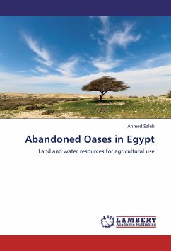
Egypt is about one million square kilometers, with its cultivated lands being concentrated around the river Nile valley occupying about 4% of the whole area while the desert land occupying the rest of Egypt. The excessive population growth and the lack of food security were the guide to expand and extend horizontally the cultivated lands. The desert lands in Egypt have many cultivable lands for agricultural horizontal expansion. The abandoned oases are of four oases namely Sitra, El Nuweimisa, El Bahrien, and El Arag. They fall within the southern corner of the northern plateau of the Western ...
Egypt is about one million square kilometers, with its cultivated lands being concentrated around the river Nile valley occupying about 4% of the whole area while the desert land occupying the rest of Egypt. The excessive population growth and the lack of food security were the guide to expand and extend horizontally the cultivated lands. The desert lands in Egypt have many cultivable lands for agricultural horizontal expansion. The abandoned oases are of four oases namely Sitra, El Nuweimisa, El Bahrien, and El Arag. They fall within the southern corner of the northern plateau of the Western Desert of Egypt and form the utmost borders of the south of the famous Qattara Depression. This book represents the integration between remote sensing and geographic information system in assessing and modeling the land and water resources of abandoned oases and defining the agricultural use priorities using spatial modeling in order to help the planners and the decision makers to organize the environmental data, and understanding their spatial association.


