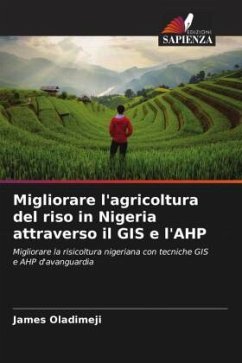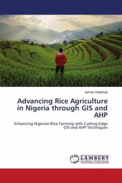
Advancing Rice Agriculture in Nigeria through GIS and AHP
Enhancing Nigerian Rice Farming with Cutting-Edge GIS and AHP Techniques
Versandkostenfrei!
Versandfertig in 6-10 Tagen
29,99 €
inkl. MwSt.

PAYBACK Punkte
15 °P sammeln!
This research focused on evaluating the sutability of land for rice farming within the Kabba/Bunu local government area, Nigeria, using an integrated approach that combines the Analytic Hierarchy Process (AHP) within a Geographic Information System (GIS). The selection of key factors such as climate, soil, topography, and land use/land cover (LULC) was guided by the FAO's guidelines and expert recommendations. Through the integration of GIS-based Multi-Criteria Decision Analysis (MCDA) and the application of AHP for prioritizing these factors, we developed weighted suitability layers, culminat...
This research focused on evaluating the sutability of land for rice farming within the Kabba/Bunu local government area, Nigeria, using an integrated approach that combines the Analytic Hierarchy Process (AHP) within a Geographic Information System (GIS). The selection of key factors such as climate, soil, topography, and land use/land cover (LULC) was guided by the FAO's guidelines and expert recommendations. Through the integration of GIS-based Multi-Criteria Decision Analysis (MCDA) and the application of AHP for prioritizing these factors, we developed weighted suitability layers, culminating in the creation of a comprehensive map indicating areas optimal for rice cultivation. The land was categorized into five suitability levels: most suitable, more suitable, suitable, less suitable, and not suitable. The findings confirm the efficacy of AHP in conducting such analyses, provided the correct variables are chosen. Notably, approximately 38% of the region, primarily in the south, was identified as moderately suitable for rice cultivation.


