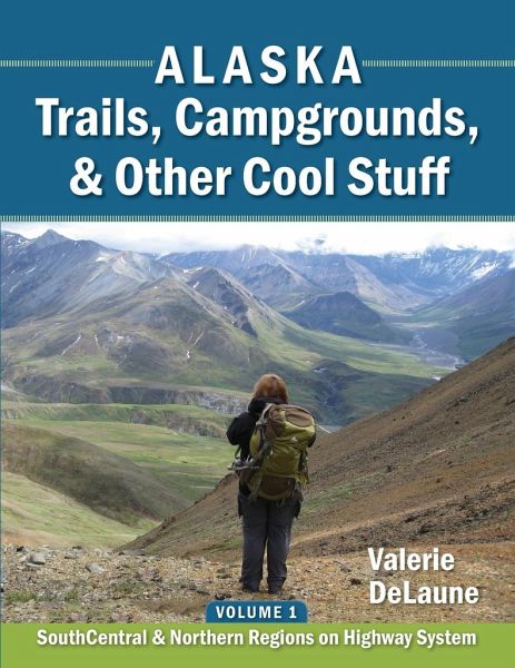
Alaska Trails, Campgrounds, & Other Cool Stuff
Volume 1: SouthCentral and Northern Regions on Highway System
Versandkostenfrei!
Versandfertig in 1-2 Wochen
16,99 €
inkl. MwSt.

PAYBACK Punkte
8 °P sammeln!
This quick-reference print book is organized by highway/road. You can find trails and public campgrounds based on where you are planning on traveling, rather than finding a trail on the internet and having to figure out where it's located, and then trying to figure out what else might be nearby. In addition to trails and campgrounds, you'll also find information on downhill and cross-country ski areas, biking trails, visitor centers/ranger stations, public use cabins, hut systems, boat launches, river float trips, rest stops, and hostels. You'll know where to get gas in remote locations, and w...
This quick-reference print book is organized by highway/road. You can find trails and public campgrounds based on where you are planning on traveling, rather than finding a trail on the internet and having to figure out where it's located, and then trying to figure out what else might be nearby. In addition to trails and campgrounds, you'll also find information on downhill and cross-country ski areas, biking trails, visitor centers/ranger stations, public use cabins, hut systems, boat launches, river float trips, rest stops, and hostels. You'll know where to get gas in remote locations, and where to take showers and dump RV tanks. Symbols are used so you can get information at a glance. Hikers sometimes ask: "Isn't this all on the internet?" The answer is that much of it is, but aside from much of it being incorrect, it's not organized/synthesized by location. This book was written because of sketchy information "out there" on the internet and other sources. Often the directions to the trailhead are incorrect, poor, or non-existent. The author found and verified directions, and checked basic information such as distances, elevation gains, and routes. Some websites claim to have people verifying their information, but one website actually maps the trail going 6.1 miles in the exact opposite direction of the actual trail! Once a single website gets the information incorrect, it propagates - for example, multiple websites had Curry Ridge Trail and K'esugi Ridge Trail as the same trail with interchangeable names, when in fact they are two separate and unconnected trails (as of 2019). So much information is incorrect (even from government agencies), that trails must be hiked with a GPS to verify information.


