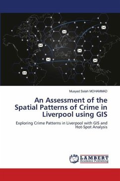
An Assessment of the Spatial Patterns of Crime in Liverpool using GIS
Exploring Crime Patterns in Liverpool with GIS and Hot-Spot Analysis
Versandkostenfrei!
Versandfertig in 6-10 Tagen
29,99 €
inkl. MwSt.

PAYBACK Punkte
15 °P sammeln!
The study explores the concentration of crimes in Liverpool and identifies socio-economic factors associated with high crime areas using Geographical Information Systems (GIS) and quantitative techniques. The study uses crime and socio-economic data to conduct hot spot cluster analysis and Ordinary Least Square (OLS) regression to validate results. The study finds high concentration patterns of crime in the neighbourhoods surrounding Liverpool city centre, which are highly associated with some socio-economic activities in the area. However, other types of crimes are found to be insignificant i...
The study explores the concentration of crimes in Liverpool and identifies socio-economic factors associated with high crime areas using Geographical Information Systems (GIS) and quantitative techniques. The study uses crime and socio-economic data to conduct hot spot cluster analysis and Ordinary Least Square (OLS) regression to validate results. The study finds high concentration patterns of crime in the neighbourhoods surrounding Liverpool city centre, which are highly associated with some socio-economic activities in the area. However, other types of crimes are found to be insignificant in explaining the cluster of crimes in certain parts of the city, leading to the conclusion that they happen by chance. The study suggests further research using interviews to evaluate the spatial inequalities of crimes observed in this study among the neighbourhoods of Liverpool.


