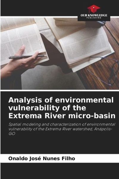
Analysis of environmental vulnerability of the Extrema River micro-basin
Spatial modeling and characterization of environmental vulnerability of the Extrema River watershed, Anápolis-GO
Versandkostenfrei!
Versandfertig in 6-10 Tagen
27,99 €
inkl. MwSt.

PAYBACK Punkte
14 °P sammeln!
Today the greatest concern of society is linked to environmental issues, to know how and in what way we can develop and generate wealth without causing impact on the environment. With the growth and expansion of urban centres, industrial and economic activities, cities often grow in a disorderly manner, without planning land use, advancing into areas that should be protected, such as waterways and river sources, generating in the landscape, environmentally vulnerable areas, where any factor conditioning the unbalance of that system can cause damage often irreversible. This work proposes to ide...
Today the greatest concern of society is linked to environmental issues, to know how and in what way we can develop and generate wealth without causing impact on the environment. With the growth and expansion of urban centres, industrial and economic activities, cities often grow in a disorderly manner, without planning land use, advancing into areas that should be protected, such as waterways and river sources, generating in the landscape, environmentally vulnerable areas, where any factor conditioning the unbalance of that system can cause damage often irreversible. This work proposes to identify and characterize through geoprocessing techniques the environmental vulnerability of the watershed of the Extrema River, and thus, to evaluate, spatially model the watershed, and represent it cartographically showing the areas impacted because of anthropic actions in the region. This study sought to contribute with science and technology to present effective solutions to the development of a new model of environmental analysis able to assist in decision making, helping to ensure an ecologically balanced environment.


