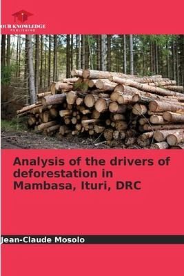
Analysis of the drivers of deforestation in Mambasa, Ituri, DRC
Versandkostenfrei!
Versandfertig in 6-10 Tagen
27,99 €
inkl. MwSt.

PAYBACK Punkte
14 °P sammeln!
As a result of anthropogenic pressures, several hectares of forest disappear every year in the Democratic Republic of Congo (FAO, 2012), the city of Mambasa does not escape this logic. This research analyzes the drivers of deforestation in Mambasa between 1984, 2001 and 2014, using spatial imagery combined with field surveys. This study is based on Landsat ETM+ satellite images from 1984 and TM from 2001 and Landsat OLI 8 from 2014, using remote sensing techniques, notably supervised classification. It presents the direct and indirect causes of the regression of forest cover and explains the m...
As a result of anthropogenic pressures, several hectares of forest disappear every year in the Democratic Republic of Congo (FAO, 2012), the city of Mambasa does not escape this logic. This research analyzes the drivers of deforestation in Mambasa between 1984, 2001 and 2014, using spatial imagery combined with field surveys. This study is based on Landsat ETM+ satellite images from 1984 and TM from 2001 and Landsat OLI 8 from 2014, using remote sensing techniques, notably supervised classification. It presents the direct and indirect causes of the regression of forest cover and explains the motivations of the population to engage in various activities including slash and burn agriculture and artisanal logging. Thus, the annual rate of deforestation of primary forests is estimated at 1.2%. In sum, this study reveals that the primary forests of Mambasa are in the process of disappearing in the very near future if no protective action is taken as a result of slash-and-burn agriculture practiced by farmers and abusive and illegal artisanal logging.


