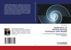
Application of Remote Sensing Techniques with Matlab
For Undergraduate and Postgraduate Students in Scientific DepartmentsFirst Edition
Versandkostenfrei!
Versandfertig in 6-10 Tagen
55,99 €
inkl. MwSt.

PAYBACK Punkte
28 °P sammeln!
The Remote Sensing is defined as the collection and interpretation of information about an object, area, or event without being in physical contact with the object. The study of remote sensing issues has become an important topic in many edges of modern science. Therefore, many scientific departments in the universities of civilized countries began to adopt and teaching these topics to the students of primary and postgraduate studies alike. Since the images provided by satellites are large in sizes, so the situation required searching for rapid computer languages that could handle and analyze ...
The Remote Sensing is defined as the collection and interpretation of information about an object, area, or event without being in physical contact with the object. The study of remote sensing issues has become an important topic in many edges of modern science. Therefore, many scientific departments in the universities of civilized countries began to adopt and teaching these topics to the students of primary and postgraduate studies alike. Since the images provided by satellites are large in sizes, so the situation required searching for rapid computer languages that could handle and analyze the information contained in them. Matlab (the subject of our book) is an easy-to-learn language, a high-level language and of interactive environment used by scholars in all disciplines around the world. Therefore, we have chosen it to implement the software included in the chapters of this book.


