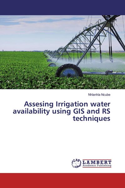
Assesing Irrigation water availability using GIS and RS techniques
-
- Englisch ausgewählt
48,99 €
UVP
54,90 €
inkl. gesetzl. MwSt.,
Beschreibung
Produktdetails
Einband
Taschenbuch
Erscheinungsdatum
12.05.2020
Verlag
LAP LAMBERT Academic PublishingSeitenzahl
92
Maße (L/B/H)
22/15/0,7 cm
Gewicht
155 g
Sprache
Englisch
ISBN
978-3-659-90011-2
Sustainable irrigation planning and management demands full knowledge of current and future availability of land and water resources. The full knowledge required consist of a deep understanding of the cropwater requirements, sustainability and protection of available reservoirs, assessment of impacts of upstream landuse changes and knowing the water demand from all activities in a catchment. The integration of Remote Sensing and ground data into hydrological and cropwater requirement models enables water resources managers to adequately quantify the availability of water for irrigation in space and time. Thus the objective of this study was to use GIS, remote sensing and modeling techniques to assess the current and future irrigation water availability from Ruti Dam in Save catchment of Zimbabwe. The SEBS algorithm was used to derive actual evapotranspiration estimates using MODIS images to assess cropwater requirements in the Ruti irrigation scheme after validation with ground based evapotranspiration measurements. Results show that actual evapotranspiration computed using SEBS (2.9 -5.8 mm/day) were comparable to those obtained using a CROPWAT model (3.03 -6.2 mm/day).
Noch keine Bewertungen vorhanden
Verfassen Sie die erste Bewertung zu diesem Artikel
Helfen Sie anderen Kundinnen und Kunden durch Ihre Meinung.
Kurze Frage zu unserer Seite
Vielen Dank für dein Feedback
Wir nutzen dein Feedback, um unsere Produktseiten zu verbessern. Bitte habe Verständnis, dass wir dir keine Rückmeldung geben können. Falls du Kontakt mit uns aufnehmen möchtest, kannst du dich aber gerne an unseren Kund*innenservice wenden.
zum Kundenservice