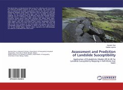
This book does a comprehensive field survey for collecting and cross-check for historical landslide locations to run these models. The present study aims to identify the landslide susceptibility areas in the Relli river basin in Darjeeling Himalaya using logistic regression (LR) and frequency ratio (FR) models. The GIS techniques have been used for landslide susceptibility mapping. For the present study, 20 different factors like drainage density, drainage texture, infiltration number, stream frequency, stream junction frequency, stream power index (SPI), lithology, soil, relative relief, slope, maximum relief, drainage intensity, ruggedness number, rainfall, dissection index, aspect, relief class, and distance from stream, topographic wetness index (TWI) and land use land cover (lulc) have been used. This book will help to the new commers to use the models and prepare any kind of susceptibility mapping be it landslide or flood or soil loss or gully erosion etc., in any climatic region. Figures, tables, equations and methodologies are useful to understand the entire work.
Hinweis: Dieser Artikel kann nur an eine deutsche Lieferadresse ausgeliefert werden.
Hinweis: Dieser Artikel kann nur an eine deutsche Lieferadresse ausgeliefert werden.


