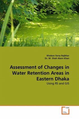
Assessment of Changes in Water Retention Areas in Eastern Dhaka
Using RS and GIS
Versandkostenfrei!
Versandfertig in 6-10 Tagen
32,99 €
inkl. MwSt.

PAYBACK Punkte
16 °P sammeln!
Water retention areas are major natural elements of an urban area. These areas have different functions of the physical environment. In Dhaka, these retention areas are encroached by different land development activities. In the recent years, water logging, drainage congestion and different types of problems have been generated by unplanned urban development. This study was conducted to estimate the change in the retention area the in eastern part of Dhaka over a period of last 15 years based on satellite images. Three different satellites images (Landsat TM, Landsat ETM Plus and IKONOS) have ...
Water retention areas are major natural elements of an urban area. These areas have different functions of the physical environment. In Dhaka, these retention areas are encroached by different land development activities. In the recent years, water logging, drainage congestion and different types of problems have been generated by unplanned urban development. This study was conducted to estimate the change in the retention area the in eastern part of Dhaka over a period of last 15 years based on satellite images. Three different satellites images (Landsat TM, Landsat ETM Plus and IKONOS) have been used in the study to observe the changes. Earth Resource Data Analysis System (ERDAS) software was used for the classification of images. Later, ArcGIS was used for area calculation and layout preparation. Field visit was conducted in two steps in the study to increase accuracy of classification. Water bodies in different part of the area have been rapidly encroached in the last 15 years. Land scarcity in the city area has influenced further development in the eastern part of Dhaka as it is adjacent to the city corporation area.


