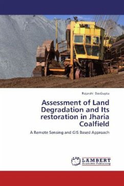
Jharia coalfield is the prime coking coal reserve of India. It has a long history of unsystematic and unscientific mining which resulted in severe land degradation, surface and subsurface mine fires and subsidence of land. Since the nationalization of coalmines in the year 1972-73, a scientific approach of coal mining has been adapted for coal exploration. However, coal mining has left a severe impact on its land environment. In the present study, several remote sensing imagery has been used to find the impact of mining on the land environment. Change detection in land use and land cover has been carried out by digital comparison method using archive & present satellite image of Indian Remote Sensing Satellite. A series of digital enhancement techniques have been used to minimize error of a wrong classification. Dominant change in Land use has been found to be significant decrease in scrub-land and considerable increase in mining induced degraded land.
Bitte wählen Sie Ihr Anliegen aus.
Rechnungen
Retourenschein anfordern
Bestellstatus
Storno

