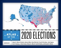
From presidential to congressional, state, and local tickets, this book explains the 2020 elections through more than 100 full-color maps that unleash the illustrative power of cartography. A mix of geographers, political scientists, and historians provide a comprehensive examination of the elections from the primary campaigns to the final results.
Hinweis: Dieser Artikel kann nur an eine deutsche Lieferadresse ausgeliefert werden.
Hinweis: Dieser Artikel kann nur an eine deutsche Lieferadresse ausgeliefert werden.

