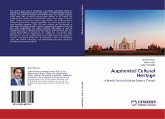
The current work aims at developing a prototype application model for providing archaeological/historical information of cultural-heritage sites like Didyma. The useful information (2D thematic maps, text, images, graphics, audio along with 3D virtual reconstruction models) of the temple was prepared from exiting raw historical data (maps, aerial image as well as other ancillary information) mainly using common GIS functionalities of ESRI products (ArcMap, ArcPad) and VRML. The visitors equipped with a small handheld computer (PDA), GPS and a display unit (see-through or head-mounted display) would be able to navigate and experience the real site while appreciating the useful historical information as well as visualization of 3D virtual reconstruction onto the natural field of view of a certain point/region of interest of the temple site. The present work provides host of new insights/ideas for making the ancient sites more attractive for tourists by utilizing the advanced/innovative technologies of outdoor Augmented Reality, GIS, 3D Visualization, Real Time Navigation using GPS, Mobile Computing, and Multi-modal interactions instead of rebuilding the historical remains.
Bitte wählen Sie Ihr Anliegen aus.
Rechnungen
Retourenschein anfordern
Bestellstatus
Storno

