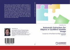
Remote sensing is an advanced technology for supplying information on natural resources and environment. Automatic traditional classifications are pixel based approaches showing problems for extraction of the objects in high resolution satellite images. The problems requires new methods that are better than the traditional ones. Recently, a new method appeared which is called object oriented approach. Therefore, in the investigation the new approach will be studied and compared to the traditional methods for QuickBird image. The text includes three parts. The first part is to show the pixel based approach. The second part is written down the works and output of the object oriented approach and the final part is comparisons and assessments between the both approaches. However, the text is covered by almost the techniques for the satellite image analysis, classifications including unsupervised, supervised and object oriented approach with clear and helpful backgrounds of the techniques and approaches. With the content, the text is very good for large range of users who want to study and apply the remote sensing technology to extract information from satellite images
Bitte wählen Sie Ihr Anliegen aus.
Rechnungen
Retourenschein anfordern
Bestellstatus
Storno

