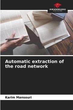
This work was carried out as part of a final year engineering project at the Centre National de la Cartographie et de la Télédétection (National Centre for Cartography and Remote Sensing). It consists of establishing and developing a new automated method for extracting the road network from ortho-photos based on the multi-resolution segmentation technique and the vectorisation and draping of roads using a digital terrain model (DTM) and GIS tools. The result will be entered into a three-dimensional geographic database. Several tests were carried out to achieve this objective. The results were checked to ensure that the tasks carried out met the quality requirements and resulted in significant savings in terms of time, equipment and personnel, compared with the current manual digitisation and photogrammetric restitution.
Bitte wählen Sie Ihr Anliegen aus.
Rechnungen
Retourenschein anfordern
Bestellstatus
Storno


