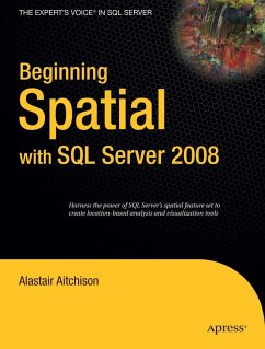
Microsoft SQL Server 2008 introduces new geography and geometry spatial datatypes that enable the storage of structured data describing the shape and position of objects in space. This is an interesting and exciting new feature, with many potentially useful applications.
Beginning Spatial with SQL Server 2008 covers everything you need to know to begin using these new spatial datatypes, and explains how to apply them in practical situations involving the spatial relationships of people, places, and things on the earth.
All of the spatial concepts introduced are explained from the ground up, so you need not have any previous knowledge of working with spatial data. Every section is illustrated with code examples that you can use directly in SQL Server. All of the topics covered in this book apply to all versions of SQL Server 2008, including the freely available SQL Server 2008 Express.
Hinweis: Dieser Artikel kann nur an eine deutsche Lieferadresse ausgeliefert werden.

