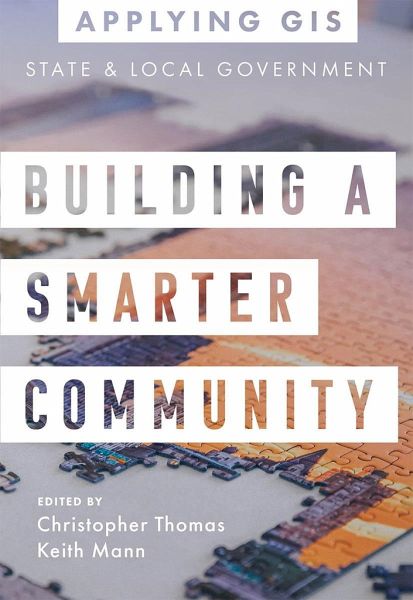
Building a Smarter Community
GIS for State and Local Government
Herausgeber: Thomas, Christopher; Mann, Keith

PAYBACK Punkte
11 °P sammeln!
GIS for State and Local Government Provide open data, balance decisions and initiatives, and create equitable policies. Place matters to governments and citizens, and location intelligence has never been more important for decision-making. Building a Smarter Community: GIS for State and Local Government shows how government leaders, department managers, and the public use geographic information system (GIS) technology to visualize and analyze data for planning and urban design, efficient operations, data-driven decisions, and civic inclusion. Sections on getting started with GIS provide helpfu...
GIS for State and Local Government Provide open data, balance decisions and initiatives, and create equitable policies. Place matters to governments and citizens, and location intelligence has never been more important for decision-making. Building a Smarter Community: GIS for State and Local Government shows how government leaders, department managers, and the public use geographic information system (GIS) technology to visualize and analyze data for planning and urban design, efficient operations, data-driven decisions, and civic inclusion. Sections on getting started with GIS provide helpful ideas, strategies, tools, and actions and a collection of online resources to jump-start your use of GIS for state and local government. Edited by Christopher Thomas, Esri's director for state and local government, and Keith Mann, an Esri product engineer. Applying GIS The Applying GIS series explains how to become a spatial thinker with ideas and strategies for building location intelligence into your profession, industry, or discipline. Each book is divided into relevant topic areas that include a set of case studies and a road map for getting started with GIS.


