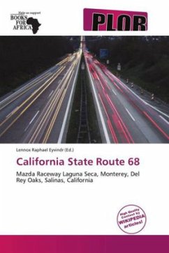
Please note that the content of this book primarily consists of articles available from Wikipedia or other free sources online. State Route 68 (SR 68) is a state highway that runs from Pacific Grove to Salinas in Monterey County. It is about 20 miles (32 km) long.This route is part of the California Freeway and Expressway System and is eligible for the State Scenic Highway System.However, only the part from SR 1 to the Salinas River is designated by Caltrans as a scenic highway. The Monterey-Salinas Highway is a California Scenic Route because of its views of the chaparral and springtime lupin for 14 miles (23 km) between State Route 1 in Monterey to the Salinas River. State Route 68 is part of the Juan De Anza Trail.
Bitte wählen Sie Ihr Anliegen aus.
Rechnungen
Retourenschein anfordern
Bestellstatus
Storno

