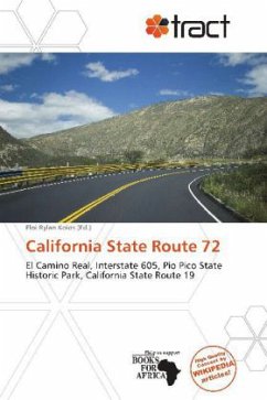
Please note that the content of this book primarily consists of articles available from Wikipedia or other free sources online. State Route 72 (SR 72) is a state highway in the U.S. state of California. The route runs from Puente Street in Brea to Atlantic Boulevard in East Los Angeles. It forms part of El Camino Real.Route 72 begins at the corner of Whittier Boulevard and Puente Street in Brea. The route follows Whittier Boulevard for its entire length, heading northwest through Whittier, as a multi-lane arterial street. Whittier Boulevard is a major commercial corridor in Whittier, though it does not go through the city center. West of the San Gabriel River (605) Freeway, the route goes under a railroad bridge near Pio Pico State Historic Park and then over the San Gabriel River as it enters Pico Rivera and meets State Route 19 at Rosemead Boulevard. After a mile, the route crosses a much more narrow steel bridge over the Rio Hondo into Montebello. There, it continues towards Atlantic Boulevard.
Bitte wählen Sie Ihr Anliegen aus.
Rechnungen
Retourenschein anfordern
Bestellstatus
Storno

