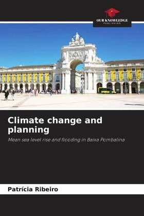
Climate change and planning
Mean sea level rise and flooding in Baixa Pombalina
Versandkostenfrei!
Versandfertig in 6-10 Tagen
38,99 €
inkl. MwSt.

PAYBACK Punkte
19 °P sammeln!
Baixa Pombalina is a historic central area of the city of Lisbon, located near the Tagus estuary, where several economic activities, including tourism, are concentrated. In this paper we analyze and map the vulnerability of this area, at the statistical subsection level, to the occurrence of floods and to the rise in mean sea level. The methodology used shows how the different components of vulnerability were determined, as well as the importance of the local context for the definition of composite indices. As results, twenty-two vulnerability hotspots were obtained, and six adaptation options...
Baixa Pombalina is a historic central area of the city of Lisbon, located near the Tagus estuary, where several economic activities, including tourism, are concentrated. In this paper we analyze and map the vulnerability of this area, at the statistical subsection level, to the occurrence of floods and to the rise in mean sea level. The methodology used shows how the different components of vulnerability were determined, as well as the importance of the local context for the definition of composite indices. As results, twenty-two vulnerability hotspots were obtained, and six adaptation options were proposed to be integrated in the Detail Plan in force to increase the resilience of this territory.


