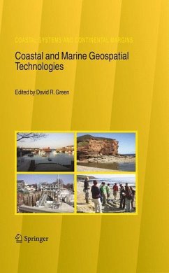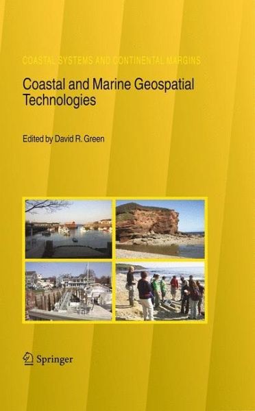
Coastal and Marine Geospatial Technologies

PAYBACK Punkte
57 °P sammeln!
This international collection of papers represents a selected and up-to-date overview of some of the main areas of research into the application of the geospatial technologies, including geographical information systems (GIS), remote sensing, digital mapping, global positioning systems (GPS), databases, Internet technology, and mobile field-data collection and mapping, to coastal and marine environments around the World. Aimed at the researcher, editor, practitioner and student, this volume seeks to expand the available literature in a rapidly expanding and evolving area, namely the coastal and marine environment. The book comes at a time when there is growing concern about global warming, climate change, and sea level rise, all of which will have an impact upon coastal areas. These geospatial technologies offer the possibility to gather unique environmental data to study the coast, to process the data into information, to visualise data and landscapes, to gather data in the field, and to involve stakeholders in coastal management amongst other things.
Considerable potential now exists to raise awareness, to educate and to embrace these technologies as one way to promote greater knowledge and understanding of our marine and coastal environments.
Considerable potential now exists to raise awareness, to educate and to embrace these technologies as one way to promote greater knowledge and understanding of our marine and coastal environments.
In 2005 the CoastGIS symposium and exhibition was once again held in Aberdeen, Scotland, in the UK, the second time that we have had the privilege host this international event in the city of Aberdeen. This was the 6th International S- posium Computer Mapping and GIS for Coastal Zone Management, a collabo- tion between the International Cartographic Association's (ICA) Commission on Marine Cartography, and the International Geographical Union's (IGU) Comm- sion on Coastal Systems. The theme for 2005 was: De ning and Building a Marine and Coastal Spatial Data Infrastructure. As a major coastal event, the CoastGIS series of conferences always attracts an international audience of coastal researchers, managers, and pr- titioners who use one or more of the geospatial technologies (e. g. GIS, GPS, digital mapping, remote sensing, databases, and the Internet) in their work. The CoastGIS series is fundamentally an international event which over the years has gained a strong following attracting delegates from around the globe. Hosted by the University of Aberdeen - at the Aberdeen Exhibition and Conference Centre (AECC) - once again CoastGIS 2005 provided an opportunity to communicate the results of a wide range of innovative scienti c research into coastal and marine applications of the geospatial technologies, including remote sensing, Geograp- cal Information Systems (GIS), Global Positioning Systems (GPS), databases, data models, the Internet and online mapping systems.


