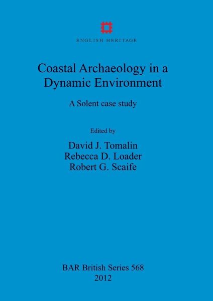
Coastal Archaeology in a Dynamic Environment
A Solent case study
Herausgeber: Tomalin, David J; Scaife, Robert G; Loader, Rebecca D
Versandkostenfrei!
Versandfertig in 1-2 Wochen
188,99 €
inkl. MwSt.

PAYBACK Punkte
94 °P sammeln!
Isle of Wight County Archaeological Unit carried out an intertidal survey over 6km of downwarped coastline on the southern shore of the eastern Solent. The focal point was Wootton Creek, a drowned river valley which has provided a haven for human activity since at least Mesolithic times. The intertidal study revealed some 180 sites and structures amongst which the Neolithic, Bronze Age, Roman, Saxon and medieval periods were particularly well represented. Outstanding features were the wooden trackways, post alignments and fish-traps of Neolithic and later date. Trees entombed in Neolithic peat...
Isle of Wight County Archaeological Unit carried out an intertidal survey over 6km of downwarped coastline on the southern shore of the eastern Solent. The focal point was Wootton Creek, a drowned river valley which has provided a haven for human activity since at least Mesolithic times. The intertidal study revealed some 180 sites and structures amongst which the Neolithic, Bronze Age, Roman, Saxon and medieval periods were particularly well represented. Outstanding features were the wooden trackways, post alignments and fish-traps of Neolithic and later date. Trees entombed in Neolithic peat produced one of the most rewarding dendrochronologies currently obtained in southern England whilst the incidence of flint picks and lithic scatterswas also notable.


