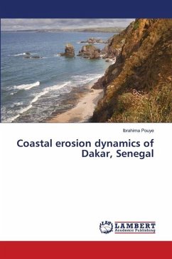
The advancing sea resulting from sea level rise, combined with the effects of climate change and hydrodynamic agents, is affecting the coastal morphology of the Dakar region. As a result, a reduction of coastal areas is observed in some coastal zones, causing human displacement inland and disrupting economic activities such as fishing and tourism. Coastal erosion makes the coasts of the Dakar region physically and socio-economically vulnerable. This study analyses the dynamics of the coastline from 1990 to 2040 using Geographic Information System and Remote Sensing techniques and shows that the region records average retreats of about -0.44 m/year, 0.21 m/year and -0.11 m/year respectively on the northern, western and southern coasts. These dynamic rates are expected to be about -4.4 m/year (for the north coast), 2.1 m/year (for the west coast) and -1.1 m/year by 2030 (south coast). By 2040, they are estimated to be around - 8.8 m/year (north coast), 4.2 m/year (west coast) and -2.2 m/year (south coast). These predicted dynamic rates will result in a loss of coastal areas, estimated at 861273 m2 in 2030 and 1256493 m2 in 2040.
Bitte wählen Sie Ihr Anliegen aus.
Rechnungen
Retourenschein anfordern
Bestellstatus
Storno

