23,99 €
inkl. MwSt.

Versandfertig in 6-10 Tagen
payback
12 °P sammeln
  • Broschiertes Buch

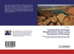
Water is vital for life and development in all parts of the world. So its various dimensions have been the focused in geomorphological research. This study has been made in various aspects of drainage morphometry (Linear, Aerial and Relief) of Udaipur water catchment area. It is a comparative study; source of data acquired from survey of India topographical maps and ASTER satellite data and checked the accuracy of data and it applications. In this scientific study Geographic Information System (GIS) and Remote Sensing techniques have been used for data analysis and interpretations.

Produktbeschreibung
Water is vital for life and development in all parts of the world. So its various dimensions have been the focused in geomorphological research. This study has been made in various aspects of drainage morphometry (Linear, Aerial and Relief) of Udaipur water catchment area. It is a comparative study; source of data acquired from survey of India topographical maps and ASTER satellite data and checked the accuracy of data and it applications. In this scientific study Geographic Information System (GIS) and Remote Sensing techniques have been used for data analysis and interpretations.
Autorenporträt
Author received his Ph.D. and M.Tech degrees in the field of RS & GIS. He has over nine years research experience in this field, he has published more than 24 research articles from different repute journals. He is presently working as an Associate Professor and Coordinator in the civil engineering department, Chitkara University, HP.