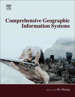
Geographical Information Systems, Three Volume Set is a computer system used to capture, store, analyze and display information related to positions on the Earth's surface. It has the ability to show multiple types of information on multiple geographical locations in a single map, enabling users to assess patterns and relationships between different information points, a crucial component for multiple aspects of modern life and industry. This 3-volumes reference provides an up-to date account of this growing discipline through in-depth reviews authored by leading experts in the field.
VOLUME EDITORS
Thomas J. Cova
The University of Utah, Salt Lake City, UT, United States
Ming-Hsiang Tsou
San Diego State University, San Diego, CA, United States
Georg Bareth
University of Cologne, Cologne, Germany
Chunqiao Song
University of California, Los Angeles, CA, United States
Yan Song
University of North Carolina at Chapel Hill, Chapel Hill, NC, United States
Kai Cao
National University of Singapore, Singapore
Elisabete A. Silva
University of Cambridge, Cambridge, United Kingdom

