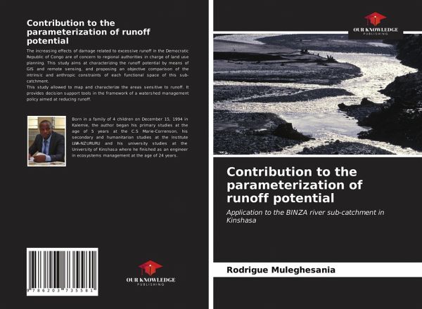
Contribution to the parameterization of runoff potential
Application to the BINZA river sub-catchment in Kinshasa
Versandkostenfrei!
Versandfertig in 6-10 Tagen
27,99 €
inkl. MwSt.

PAYBACK Punkte
14 °P sammeln!
The increasing effects of damage related to excessive runoff in the Democratic Republic of Congo are of concern to regional authorities in charge of land use planning. This study aims at characterizing the runoff potential by means of GIS and remote sensing, and proposing an objective comparison of the intrinsic and anthropic constraints of each functional space of this sub-catchment. This study allowed to map and characterize the areas sensitive to runoff. It provides decision support tools in the framework of a watershed management policy aimed at reducing runoff.


