36,99 €
inkl. MwSt.
Versandkostenfrei*
Versandfertig in 1-2 Wochen
payback
18 °P sammeln
  • Broschiertes Buch

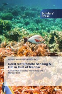
Remote sensing and GIS techniqes has been touted to provide information on several parameters that are of importance management. The present study deals with the geomorphological features, land use/ land cover and shoreline changes. The study describes purely geomorphological characteristics of "Gulf of Mannar" through creation of database and image processing techniques. It considers primarily the shape of the coral reefs, the way in which they are now being changed, to study the coral islands dynamics of Gulf of Mannar area using temporal satellite data, to study the costal land use and…mehr

Produktbeschreibung
Remote sensing and GIS techniqes has been touted to provide information on several parameters that are of importance management. The present study deals with the geomorphological features, land use/ land cover and shoreline changes. The study describes purely geomorphological characteristics of "Gulf of Mannar" through creation of database and image processing techniques. It considers primarily the shape of the coral reefs, the way in which they are now being changed, to study the coral islands dynamics of Gulf of Mannar area using temporal satellite data, to study the costal land use and landform changes using satellite data and to study the Biodiversity of Gulf of Mannar area with reference to Coral changes and its influences impacts.
Hinweis: Dieser Artikel kann nur an eine deutsche Lieferadresse ausgeliefert werden.
Autorenporträt
Kongeswaran Thangaraj travaille actuellement au département de géologie de l'université d'Alagappa, Karaikudi, Inde.M. Premkumar Manickam travaille actuellement au Centre ENVIS, Chennai, Inde.