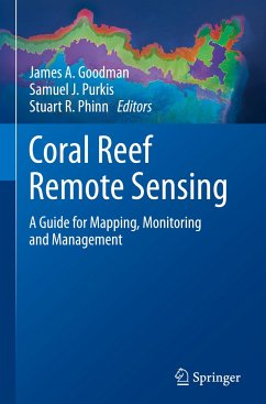
Remote sensing stands as the defining technology in our ability to monitor coral reefs, as well as their biophysical properties and associated processes, at regional to global scales. With overwhelming evidence that much of Earth's reefs are in decline, our need for large-scale, repeatable assessments of reefs has never been so great. Fortunately, the last two decades have seen a rapid expansion in the ability for remote sensing to map and monitor the coral reef ecosystem, its overlying water column, and surrounding environment.
Remote sensing is now a fundamental tool for the mapping, monitoring and management of coral reef ecosystems. Remote sensing offers repeatable, quantitative assessments of habitat and environmental characteristics over spatially extensive areas. As the multi-disciplinary field of coral reef remote sensing continues to mature, results demonstrate that the techniques and capabilities continue to improve. New developments allow reef assessments and mapping to be performed with higher accuracy, across greater spatial areas, and with greater temporal frequency. The increased level of information that remote sensing now makes available also allows more complex scientific questions to be addressed.
As defined for this book, remote sensing includes the vast array of geospatial data collected from land, water, ship, airborne and satellite platforms. The book is organized by technology, including: visible and infrared sensing using photographic, multispectral and hyperspectral instruments; active sensing using light detection and ranging (LiDAR); acoustic sensing using ship, autonomous underwater vehicle (AUV) and in-water platforms; and thermal and radar instruments.
Emphasis and Audience
This book serves multiple roles. It offers an overview of the current state-of-the-art technologies for reef mapping, provides detailed technical information for coral reef remote sensing specialists,imparts insight on the scientific questions that can be tackled using this technology, and also includes a foundation for those new to reef remote sensing. The individual sections of the book include introductory overviews of four main types of remotely sensed data used to study coral reefs, followed by specific examples demonstrating practical applications of the different technologies being discussed. Guidelines for selecting the most appropriate sensor for particular applications are provided, including an overview of how to utilize remote sensing data as an effective tool in science and management. The text is richly illustrated with examples of each sensing technology applied to a range of scientific, monitoring and management questions in reefs around the world. As such, the book is broadly accessible to a general audience, as well as students, managers, remote sensing specialists and anyone else working with coral reef ecosystems.
From the Foreword:
"This remarkable book, Coral Reef Remote Sensing: A Guide for Mapping, Monitoring and Management, for the first time documents the full range of remote sensing systems, methodologies and measurement capabilities essential to understanding more fully the status and changes over time of coral reefs globally. Such information is essential and provides the foundation for policy development and for implementing management strategies to protect these critically endangered ecosystems. ... Included here is an overview of technologies for reef mapping, technical information useful for scientists and other research and policy development experts, ideas for application of remote sensing to resolve questions, and thoughts about future remote sensing technologies and their applications.
I wholeheartedly recommend this book to scientists, students, managers, remote sensing specialists and anyone who would like to be inspired by the ingenious new ways that have been developed and are being applied to solve one of the world's greatest challenges: how to take care of the ocean that takes care of us."
Sylvia A. Earle
National Geographic Explorer in Residence
Founder, Mission Blue

