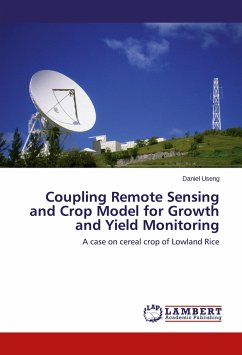
Coupling Remote Sensing and Crop Model for Growth and Yield Monitoring
A case on cereal crop of Lowland Rice
Versandkostenfrei!
Versandfertig in 6-10 Tagen
51,99 €
inkl. MwSt.

PAYBACK Punkte
26 °P sammeln!
Crop inventory is one of the most important activities in countries where agriculture is a major economic driver. Estimation of crop potential is required to determine the level of food supply for a certain region. The crop inventory activity requires a lot of effort and involves many agencies to gather information from many regions in order to provide an overall forecast of the potential food supply. A robust system for crop monitoring is needed in agricultural sector. A combination of remotely-sensed data, crop growth simulation models, and meteorological data can be utilized in predicting t...
Crop inventory is one of the most important activities in countries where agriculture is a major economic driver. Estimation of crop potential is required to determine the level of food supply for a certain region. The crop inventory activity requires a lot of effort and involves many agencies to gather information from many regions in order to provide an overall forecast of the potential food supply. A robust system for crop monitoring is needed in agricultural sector. A combination of remotely-sensed data, crop growth simulation models, and meteorological data can be utilized in predicting the varieties in crop production at regional, national and even global scales through the study of crop development stages. Combination of the capability of satellite remote sensing in observing large areas at regular intervals and crop model provides crop monitoring techniques with possible spatial extension.


