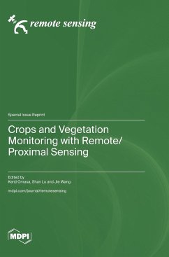
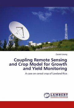
Remote sensing is a powerful technique for characterizing and monitoring crop or vegetation properties at reasonable temporal and spatial resolutions. Remote sensing uses airborne and spaceborne platforms to collect various imageries and is widely applied for the vegetation monitoring of local- or large-scale interest concerning the effect of geophysical and climate parameters. The Special Issue highlights vegetation monitoring using remote sensing data acquired from satellite or unmanned aerial vehicle platforms. In addition to the optical data, thermal data is utilized to estimate crop yield or production, orchard water status, chlorophyll content, forest diversity mapping, or vegetation phenology.
Hinweis: Dieser Artikel kann nur an eine deutsche Lieferadresse ausgeliefert werden.
Hinweis: Dieser Artikel kann nur an eine deutsche Lieferadresse ausgeliefert werden.

