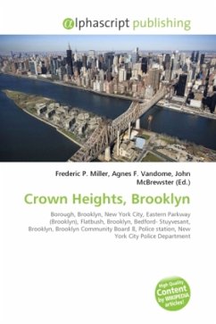
Crown Heights is a neighborhood in the central portion of the New York City borough of Brooklyn. The main thoroughfare through this neighborhood is Eastern Parkway, a tree-lined boulevard designed by Frederick Law Olmsted extending two miles (3 km) east-west. Typical Crown Heights row houses Originally, the area was known as Crow Hill. It was a succession of hills running east and west from Utica Avenue to Classon Avenue, and south to Empire Boulevard and New York Avenue. The name was changed when Crown Street was cut through in 1916. Crown Heights today is bounded by Washington Avenue and Atlantic Ave (to the west), Park Place and Ralph Ave (to the north), Ralph Avenue and East New York Ave (to the east) and Winthrop St and New York Ave (to the south). It is about two miles (3 km) long and two miles (3 km) deep. These neighborhoods border Crown Heights: Downtown Brooklyn (to the west); Flatbush(to the south); Brownsville (to the southeast); and Bedford-Stuyvesant (to the north).This neighborhood extends through much of Brooklyn Community Board 8 and 9. It is under the jurisdiction of two precincts of the New York City Police Department.
Bitte wählen Sie Ihr Anliegen aus.
Rechnungen
Retourenschein anfordern
Bestellstatus
Storno

