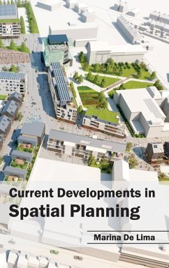
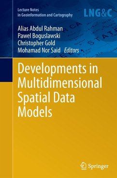
Geoscience is developing with a rapid pace and spatial planning is an important unit of it. Number of advanced methods and modeling techniques such as Global Positioning System (GPS), Geographical Information System (GIS) or remote sensing technologies have been introduced and practiced to enhance various facets of spatial planning. The sections of this book discuss the present profile of the theories, data, analytical methods and modeling techniques adopted in several case studies. The book not only deals with the latest developments in urban and spatial planning, but also highlights the different elements of spatial planning and provides access to different case studies in several countries.
Hinweis: Dieser Artikel kann nur an eine deutsche Lieferadresse ausgeliefert werden.
Hinweis: Dieser Artikel kann nur an eine deutsche Lieferadresse ausgeliefert werden.

