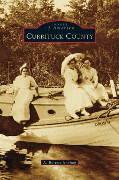
Currituck County, established in 1668, is the oldest and most northeastern county in the state of North Carolina. It is thought that the name "Currituck" was derived from a Native American word for "wild goose." The county covers 273 square miles of long peninsula that runs north and south along the western shore of the Currituck Sound, which, until the early 1800s, was open to the transatlantic shipping trade. In Currituck County, photographs from the 1860s through the 1960s capture the county during the Civil War, Reconstruction, World Wars I and II, the Roaring Twenties, the Great Depression, and technological advances of the 1950s. With the opening of the new Wright Memorial Bridge, dedicated on November 5, 1966, an ever-increasing flood of vacationers traveled through Currituck County to the Outer Banks, and local businesses evolved to accommodate these thousands, and later, millions of visitors. The images seen here show a way of life in Currituck County before the development of tourism.
Hinweis: Dieser Artikel kann nur an eine deutsche Lieferadresse ausgeliefert werden.
Hinweis: Dieser Artikel kann nur an eine deutsche Lieferadresse ausgeliefert werden.


