Data Analysis Applied To Satellite Images To Calculate The Deforestation
Pattern recognition applied to satellite images
Versandkostenfrei!
Versandfertig in 1-2 Wochen
26,99 €
inkl. MwSt.

PAYBACK Punkte
13 °P sammeln!
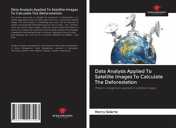
The present work aims to calculate the progression of deforestation in a specific geographical area and within given time limits, using Landsat satellite images. The work employs a methodology that starts with the download of images, processed with specialized programs such as Erdas, - Envi . Similarly, Grass was used to import images. rstudio was used to extract the features. A keras neural network was elaborated using the phyton programming language, a development that allowed to give a conclusion regarding the area of study.Book dedicated with much love to my children SANTIAGO and SAMUEL, I...
The present work aims to calculate the progression of deforestation in a specific geographical area and within given time limits, using Landsat satellite images. The work employs a methodology that starts with the download of images, processed with specialized programs such as Erdas, - Envi . Similarly, Grass was used to import images. rstudio was used to extract the features. A keras neural network was elaborated using the phyton programming language, a development that allowed to give a conclusion regarding the area of study.Book dedicated with much love to my children SANTIAGO and SAMUEL, I love them.


