Data mining for aquifer vulnerability assessment
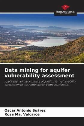
Application of the K-means algorithm for vulnerability assessment of the Almendares-Vento karst basin.
Versandkostenfrei!
Versandfertig in 6-10 Tagen
29,99 €
inkl. MwSt.

PAYBACK Punkte
15 °P sammeln!
Aquifer contamination vulnerability maps are part of an early warning system to prevent deterioration of groundwater quality. Weighted index overlay methods are commonly employed to perform aquifer vulnerability mapping, but they present a set of disadvantages that indicate the need to apply alternative methods that introduce the least number of a priori considerations in the processing of the parameters to be used and allow a more accurate interpretation of the final results. The objective of this research was to evaluate the vulnerability to contamination of groundwater in the Almendares-Ven...
Aquifer contamination vulnerability maps are part of an early warning system to prevent deterioration of groundwater quality. Weighted index overlay methods are commonly employed to perform aquifer vulnerability mapping, but they present a set of disadvantages that indicate the need to apply alternative methods that introduce the least number of a priori considerations in the processing of the parameters to be used and allow a more accurate interpretation of the final results. The objective of this research was to evaluate the vulnerability to contamination of groundwater in the Almendares-Vento karst basin in Havana province, Cuba, using the data mining technique of cluster analysis, and to compare the results with those obtained by applying the RISK method, which is a method of superposition of weighted indices for the study of karst aquifers.


