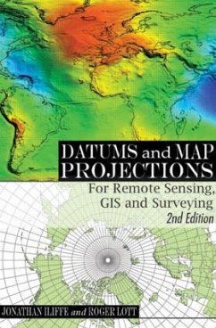
A practical guide to coordinate reference systems, Datums and Map Projections: For Remote Sensing, GIS and Surveying has become a key book for many students and professionals around the world. While retaining the benefits of the first edition-clear presentation assuming no prior knowledge, a problem-solving approach, practical examples and the combination of GPS-derived data from other sources-the rewritten and expanded second edition includes a revised structure that better groups common themes. It includes greater scope and coverage of all possible types of coordinate reference systems, more examples and case studies from around the world, terminology of the ISO 1911, and color illustrations.
Hinweis: Dieser Artikel kann nur an eine deutsche Lieferadresse ausgeliefert werden.
Hinweis: Dieser Artikel kann nur an eine deutsche Lieferadresse ausgeliefert werden.

