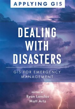
GIS for Emergency Management Discover a modern approach to understanding threats and hazards that are more complex, costly, and devastating than ever before. Dealing with Disasters: GIS for Emergency Management explores a collection of real-life case studies about emergency management agencies successfully using GIS for real and potential hazards. Each of the three themed parts-Preparedness, Disaster Response, and Disaster Recovery-also includes a "getting started with GIS" section that provides ideas, strategies, tools, and actions to help jump-start your own use of GIS for emergency management. A collection of online resources, including additional stories, videos, new ideas and concepts, and downloadable tools and content, complements this book. Edited by Ryan Lanclos, Esri's director of public safety solutions, and Matt Artz, an Esri content strategist.
Bitte wählen Sie Ihr Anliegen aus.
Rechnungen
Retourenschein anfordern
Bestellstatus
Storno


