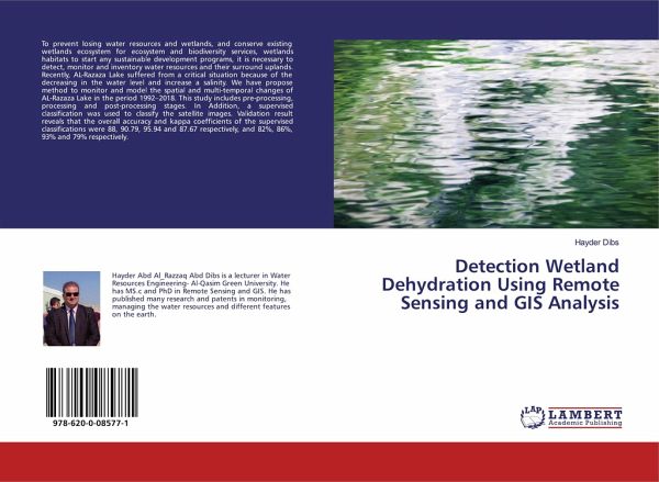
Detection Wetland Dehydration Using Remote Sensing and GIS Analysis
Versandkostenfrei!
Versandfertig in 1-2 Wochen
26,99 €
inkl. MwSt.

PAYBACK Punkte
13 °P sammeln!
To prevent losing water resources and wetlands, and conserve existing wetlands ecosystem for ecosystem and biodiversity services, wetlands habitats to start any sustainable development programs, it is necessary to detect, monitor and inventory water resources and their surround uplands. Recently, AL-Razaza Lake suffered from a critical situation because of the decreasing in the water level and increase a salinity. We have propose method to monitor and model the spatial and multi-temporal changes of AL-Razaza Lake in the period 1992-2018. This study includes pre-processing, processing and post-...
To prevent losing water resources and wetlands, and conserve existing wetlands ecosystem for ecosystem and biodiversity services, wetlands habitats to start any sustainable development programs, it is necessary to detect, monitor and inventory water resources and their surround uplands. Recently, AL-Razaza Lake suffered from a critical situation because of the decreasing in the water level and increase a salinity. We have propose method to monitor and model the spatial and multi-temporal changes of AL-Razaza Lake in the period 1992-2018. This study includes pre-processing, processing and post-processing stages. In Addition, a supervised classification was used to classify the satellite images. Validation result reveals that the overall accuracy and kappa coefficients of the supervised classifications were 88, 90.79, 95.94 and 87.67 respectively, and 82%, 86%, 93% and 79% respectively.


