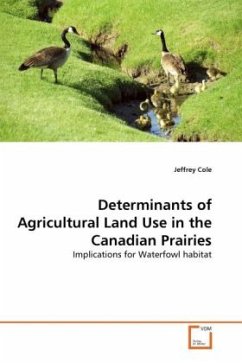
The Prairie Pothole Region(PPR), spanning approximately 176,000,000 acres of the US and Canadian Great Plains, is one of the most threatenned and important waterfowl habitats in North America. Since the Canadian Prairie Provinces are 90 percent privately owned, waterfowl conservation organizations need to understand how private landowners respond to price and policy changes to target habitat conservation programs. This study uses data from the Canadian Prairies to econometrically model land use change amongst nine major agricultural land uses. Following economic theory, the econometric land use model includes economic (e.g. revenue), site specific (e.g. soil quality), and regional (e.g. population density) relevant explanatory variables. The economic results indicate when and where land use changes occur. Furthermore, policy simulations using crop revenue elasticities and biological information help determine which land use policies create the largest increase in the number of waterfowl nests hatched.
Bitte wählen Sie Ihr Anliegen aus.
Rechnungen
Retourenschein anfordern
Bestellstatus
Storno

