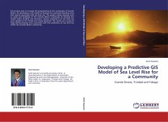
Developing a Predictive GIS Model of Sea Level Rise for a Community
Grande Riviere, Trinidad and Tobago
Versandkostenfrei!
Versandfertig in 6-10 Tagen
39,99 €
inkl. MwSt.

PAYBACK Punkte
20 °P sammeln!
This project aims to increase the preparedness of the community of Grande Riviere, by developing a GIS model to illustrate the potential flooding areas that may be associated with sea level rise. This project utilizes datasets such as roads and buildings of the Grande Riviere community to develop the model within ArcMap and ArcScene. Various predictions of sea level rise were applied to the model and results obtained. The results are a series of maps demonstrating areas associated with the predictions of sea level rise within the Grande Riviere community.


